Shirenewton recreation area
Introduction
The photograph on this page of Shirenewton recreation area by Jaggery as part of the Geograph project.
The Geograph project started in 2005 with the aim of publishing, organising and preserving representative images for every square kilometre of Great Britain, Ireland and the Isle of Man.

There are currently over 7.5m images from over 14,400 individuals and you can help contribute to the project by visiting https://www.geograph.org.uk
Shirenewton recreation area
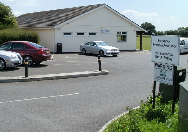
Image: © Jaggery Taken: 14 Jul 2011
Located in the west of the village, on the south side of Earlswood Road. The facilities include a large field with football goals, and an adjacent tennis court. The building, with a small kitchen, bathroom facilities and cloakroom, is available for hire.
Images are licensed for reuse under creativecommons.org/licenses/by-sa/2.0
Image Location
Latitude
51.639836
Longitude
-2.757593