National Cycle Network route 42 near Shirenewton
Introduction
The photograph on this page of National Cycle Network route 42 near Shirenewton by Jaggery as part of the Geograph project.
The Geograph project started in 2005 with the aim of publishing, organising and preserving representative images for every square kilometre of Great Britain, Ireland and the Isle of Man.

There are currently over 7.5m images from over 14,400 individuals and you can help contribute to the project by visiting https://www.geograph.org.uk
National Cycle Network route 42 near Shirenewton
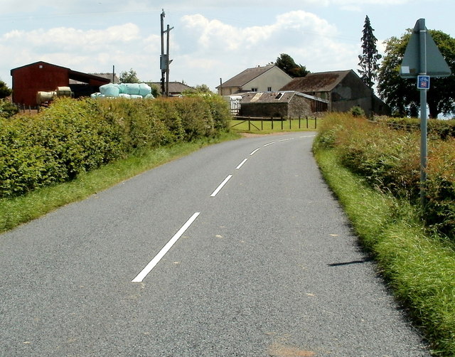
Image: © Jaggery Taken: 14 Jul 2011
A small dark blue sign on the post on the right, below a triangular sign, shows that is part of NCR route 42, along the road from Earlswood to Shirenewton, on the approach to Mynders Farm. http://www.geograph.org.uk/photo/3179135
Images are licensed for reuse under creativecommons.org/licenses/by-sa/2.0
Image Location
Latitude
51.643269
Longitude
-2.768922