Fenn Creek
Introduction
The photograph on this page of Fenn Creek by Roger Jones as part of the Geograph project.
The Geograph project started in 2005 with the aim of publishing, organising and preserving representative images for every square kilometre of Great Britain, Ireland and the Isle of Man.

There are currently over 7.5m images from over 14,400 individuals and you can help contribute to the project by visiting https://www.geograph.org.uk
Fenn Creek
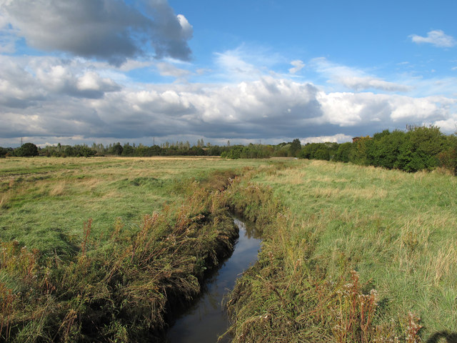
Image: © Roger Jones Taken: 14 Oct 2012
Seen from the bridge at Woodham Fen Nature Reserve. (Also spelt Woodham Fenn). The 20 acre reserve lies between and near the tidal limits of two small creeks running south into the River Crouch. The southern part is saltmarsh and the northern rough grassland with a transitional zone between the two - of special interest because this natural transition is now very unusual in Essex. See Essex Wildlife Trust http://www.essexwt.org.uk/visitor_centres__nature_reserves/woodham_fen/ .
Images are licensed for reuse under creativecommons.org/licenses/by-sa/2.0
Image Location
Latitude
51.645281
Longitude
0.600931