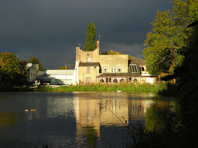
Field Mill Pond
Introduction
The photograph on this page of Field Mill Pond by Antony Dixon as part of the Geograph project.
The Geograph project started in 2005 with the aim of publishing, organising and preserving representative images for every square kilometre of Great Britain, Ireland and the Isle of Man.
There are currently over 7.5m images from over 14,400 individuals and you can help contribute to the project by visiting https://www.geograph.org.uk

Image: © Antony Dixon Taken: 14 Oct 2012
Seen in dramatic evening sunlight across Field Mill Pond, this house dates back to the late 18th century. It was the Master's house of Field Mill. The mill itself, which was demolished in 1925, stood immediately to the left of the house and towered over it. After standing empty for many years, the house was converted to a pub (Early Doors) in the 1990's and is now an Indian Restaurant. You can see an old photo (pre-1925) showing the house and mill here http://www.old-mansfield.org.uk/tales/newbook.htm

