Upper Wyke farmhouse
Introduction
The photograph on this page of Upper Wyke farmhouse by Roger Thomas as part of the Geograph project.
The Geograph project started in 2005 with the aim of publishing, organising and preserving representative images for every square kilometre of Great Britain, Ireland and the Isle of Man.

There are currently over 7.5m images from over 14,400 individuals and you can help contribute to the project by visiting https://www.geograph.org.uk
Upper Wyke farmhouse
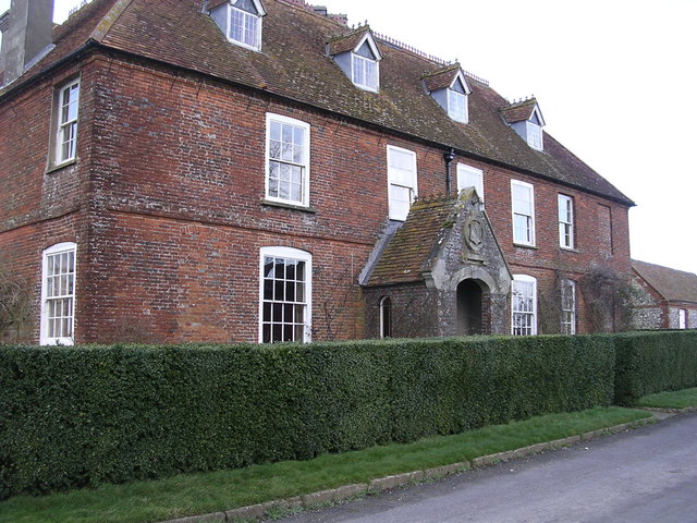
Image: © Roger Thomas Taken: 21 Jan 2007
Impressive farm house with walled garden to the rear, barns opposite and panoramic views.
Images are licensed for reuse under creativecommons.org/licenses/by-sa/2.0
Image Location
Latitude
51.25047
Longitude
-1.427686