Trig point on Rushton's Height
Introduction
The photograph on this page of Trig point on Rushton's Height by Bill Boaden as part of the Geograph project.
The Geograph project started in 2005 with the aim of publishing, organising and preserving representative images for every square kilometre of Great Britain, Ireland and the Isle of Man.

There are currently over 7.5m images from over 14,400 individuals and you can help contribute to the project by visiting https://www.geograph.org.uk
Trig point on Rushton's Height
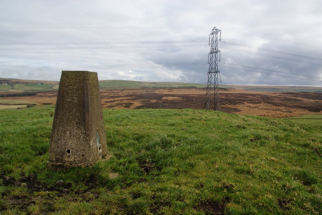
Image: © Bill Boaden Taken: 13 Oct 2012
This is looking east over Grey Stone Hill to the higher moors of Holcombe Moor. Rushton's Height is the highest point of a long ridge which runs from Entwistle to Hoddlesden.
Images are licensed for reuse under creativecommons.org/licenses/by-sa/2.0
Image Location
Latitude
53.684047
Longitude
-2.431778