Bottom of Wellhouse Lane
Introduction
The photograph on this page of Bottom of Wellhouse Lane by Hugh Craddock as part of the Geograph project.
The Geograph project started in 2005 with the aim of publishing, organising and preserving representative images for every square kilometre of Great Britain, Ireland and the Isle of Man.

There are currently over 7.5m images from over 14,400 individuals and you can help contribute to the project by visiting https://www.geograph.org.uk
Bottom of Wellhouse Lane
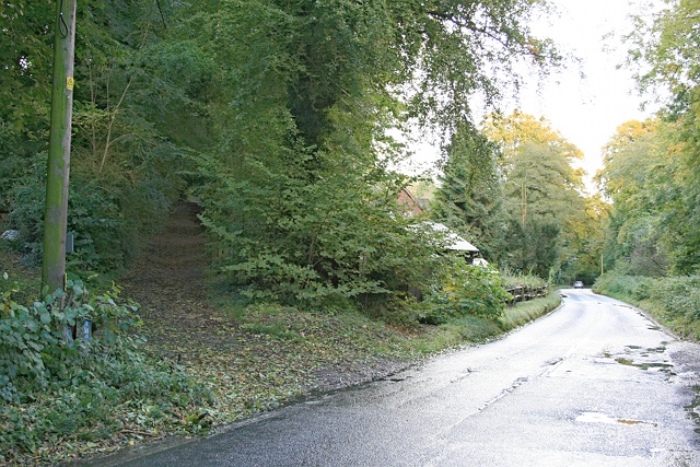
Image: © Hugh Craddock Taken: 13 Oct 2012
Medstead Road opposite the entrance to the Forestry Commission's Bushy Leaze Wood. To the left is the bottom of Wellhouse Lane, which shows signs of having been tarred in the distant past, but which is now unsurfaced and unsuitable for motor traffic.
Images are licensed for reuse under creativecommons.org/licenses/by-sa/2.0
Image Location
Latitude
51.139957
Longitude
-1.02067