Ribbon Housing
Introduction
The photograph on this page of Ribbon Housing by Tony Atkin as part of the Geograph project.
The Geograph project started in 2005 with the aim of publishing, organising and preserving representative images for every square kilometre of Great Britain, Ireland and the Isle of Man.

There are currently over 7.5m images from over 14,400 individuals and you can help contribute to the project by visiting https://www.geograph.org.uk
Ribbon Housing
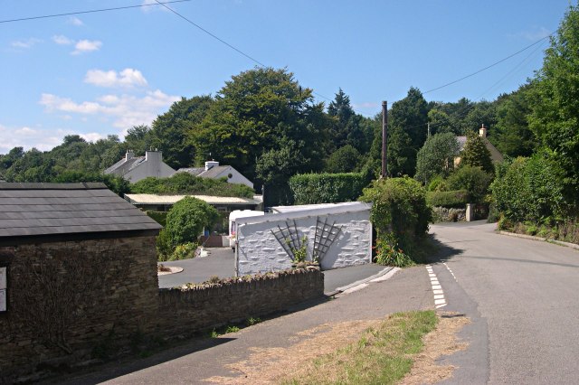
Image: © Tony Atkin Taken: 7 Aug 2005
On the minor road between Harrowbarrow and St Anne's Chapel the housing never really stops. It is a mixture of old mining cottages and more recent houses.
Images are licensed for reuse under creativecommons.org/licenses/by-sa/2.0
Image Location
Latitude
50.511501
Longitude
-4.251774