Dale Town
Introduction
The photograph on this page of Dale Town by Mick Garratt as part of the Geograph project.
The Geograph project started in 2005 with the aim of publishing, organising and preserving representative images for every square kilometre of Great Britain, Ireland and the Isle of Man.

There are currently over 7.5m images from over 14,400 individuals and you can help contribute to the project by visiting https://www.geograph.org.uk
Dale Town
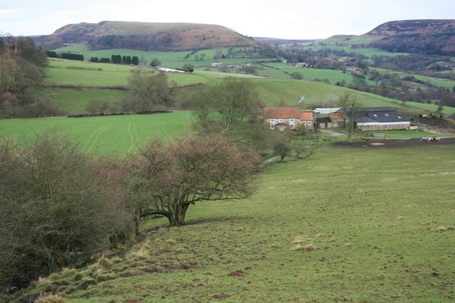
Image: © Mick Garratt Taken: 21 Jan 2007
A working farm nestling below Peak Scar. The name implies that there was a more substantial settlement here. There is documentary evidence that there was a settlement in the 11c. Hawnby Hill dominates the horizon.
Images are licensed for reuse under creativecommons.org/licenses/by-sa/2.0
Image Location


Leaflet Map data © OpenStreetMap
Latitude
54.290043
Longitude
-1.178081