The Sixmilewater, Muckamore (4)
Introduction
The photograph on this page of The Sixmilewater, Muckamore (4) by Albert Bridge as part of the Geograph project.
The Geograph project started in 2005 with the aim of publishing, organising and preserving representative images for every square kilometre of Great Britain, Ireland and the Isle of Man.

There are currently over 7.5m images from over 14,400 individuals and you can help contribute to the project by visiting https://www.geograph.org.uk
The Sixmilewater, Muckamore (4)
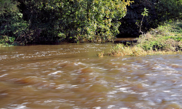
Image: © Albert Bridge Taken: 12 Oct 2012
The Sixmilewater, flowing from right to left, as it approaches the Muckamore Bridge Image The river is high and muddy after a day of continuous heavy rain. What appears to be a confluence is just a short stretch where the river divides – see the satellite photograph.
Images are licensed for reuse under creativecommons.org/licenses/by-sa/2.0
Image Location
Latitude
54.704172
Longitude
-6.189317