Tiverton : Chapel Street
Introduction
The photograph on this page of Tiverton : Chapel Street by Lewis Clarke as part of the Geograph project.
The Geograph project started in 2005 with the aim of publishing, organising and preserving representative images for every square kilometre of Great Britain, Ireland and the Isle of Man.

There are currently over 7.5m images from over 14,400 individuals and you can help contribute to the project by visiting https://www.geograph.org.uk
Tiverton : Chapel Street
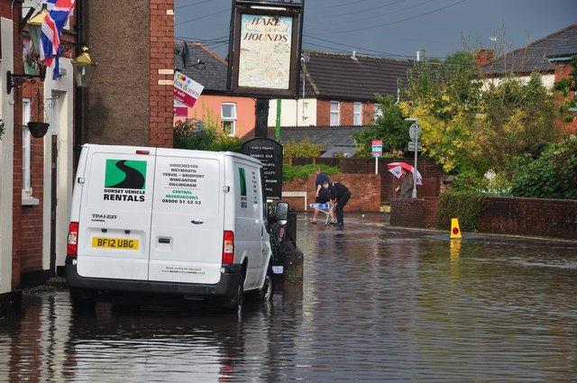
Image: © Lewis Clarke Taken: 11 Oct 2012
The police have now arrived to close the road off as the water has got too high, and vehicles create a ripple effect as they pass through.
Images are licensed for reuse under creativecommons.org/licenses/by-sa/2.0
Image Location


Leaflet Map data © OpenStreetMap
Latitude
50.906354
Longitude
-3.480367