Housing and corner shop in Springfield, Wolverhampton
Introduction
The photograph on this page of Housing and corner shop in Springfield, Wolverhampton by Roger D Kidd as part of the Geograph project.
The Geograph project started in 2005 with the aim of publishing, organising and preserving representative images for every square kilometre of Great Britain, Ireland and the Isle of Man.

There are currently over 7.5m images from over 14,400 individuals and you can help contribute to the project by visiting https://www.geograph.org.uk
Housing and corner shop in Springfield, Wolverhampton
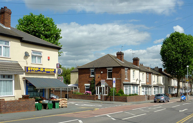
Image: © Roger D Kidd Taken: 10 Aug 2012
This shows part of Cannock Road (A460) at the junction with Prole Street.
Images are licensed for reuse under creativecommons.org/licenses/by-sa/2.0
Image Location
Latitude
52.595504
Longitude
-2.117749