The Wolds
Introduction
The photograph on this page of The Wolds by David Lally as part of the Geograph project.
The Geograph project started in 2005 with the aim of publishing, organising and preserving representative images for every square kilometre of Great Britain, Ireland and the Isle of Man.

There are currently over 7.5m images from over 14,400 individuals and you can help contribute to the project by visiting https://www.geograph.org.uk
The Wolds
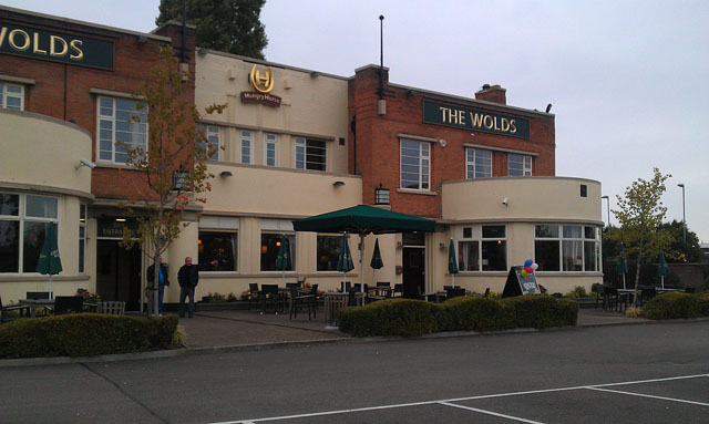
Image: © David Lally Taken: 11 Oct 2012
A Hungry Horse pub on Loughborough Road. For a wider shot when under a different branding see Image
Images are licensed for reuse under creativecommons.org/licenses/by-sa/2.0
Image Location
Latitude
52.923405
Longitude
-1.136688