Public footpath & chainlink fence
Introduction
The photograph on this page of Public footpath & chainlink fence by Rob Farrow as part of the Geograph project.
The Geograph project started in 2005 with the aim of publishing, organising and preserving representative images for every square kilometre of Great Britain, Ireland and the Isle of Man.

There are currently over 7.5m images from over 14,400 individuals and you can help contribute to the project by visiting https://www.geograph.org.uk
Public footpath & chainlink fence
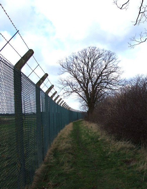
Image: © Rob Farrow Taken: 21 Jan 2007
This is a public footpath that runs parallel and adjacent to the A4146 on this section of its route from Dagnall to Edlesborough. The chainlink fence and barbed wire prevents access to the radio transmitters situated in the fields to the west.
Images are licensed for reuse under creativecommons.org/licenses/by-sa/2.0
Image Location
Latitude
51.843146
Longitude
-0.575085