Brackenborough Road: the naughty corner
Introduction
The photograph on this page of Brackenborough Road: the naughty corner by Chris as part of the Geograph project.
The Geograph project started in 2005 with the aim of publishing, organising and preserving representative images for every square kilometre of Great Britain, Ireland and the Isle of Man.

There are currently over 7.5m images from over 14,400 individuals and you can help contribute to the project by visiting https://www.geograph.org.uk
Brackenborough Road: the naughty corner
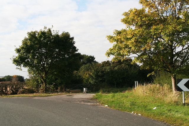
Image: © Chris Taken: 10 Oct 2012
Not all pictures are of nice things: this corner suffers from the problems of all convenient but private parking spots: people dump rubbish there. The main items are BEHIND the gate, so the Council is not responsible for clearing them. You can see from the map that this is a road of many right-angle bends (like this one), which you might think strange in such a flat landscape. This was once marshy ground, and the original path followed the high, dry points in the marsh, which were obviously not in a straight line.
Images are licensed for reuse under creativecommons.org/licenses/by-sa/2.0
Image Location
Latitude
53.383274
Longitude
0.003117