Old Line of the B4100
Introduction
The photograph on this page of Old Line of the B4100 by Nigel Mykura as part of the Geograph project.
The Geograph project started in 2005 with the aim of publishing, organising and preserving representative images for every square kilometre of Great Britain, Ireland and the Isle of Man.

There are currently over 7.5m images from over 14,400 individuals and you can help contribute to the project by visiting https://www.geograph.org.uk
Old Line of the B4100
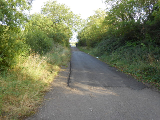
Image: © Nigel Mykura Taken: 14 Sep 2012
This short stretch of tarmac used to be the B41oo when it ran through the army camp at Kineton. However the road was rerouted to bypass the army houses and a short access road was built to join the new and old roads. The old road has been blocked off where the post can be seen in the distance leaving this short layby. A bridle path still runs along this route.
Images are licensed for reuse under creativecommons.org/licenses/by-sa/2.0
Image Location
Latitude
52.165125
Longitude
-1.441178