Meir Heath, windmill
Introduction
The photograph on this page of Meir Heath, windmill by Mike Faherty as part of the Geograph project.
The Geograph project started in 2005 with the aim of publishing, organising and preserving representative images for every square kilometre of Great Britain, Ireland and the Isle of Man.

There are currently over 7.5m images from over 14,400 individuals and you can help contribute to the project by visiting https://www.geograph.org.uk
Meir Heath, windmill
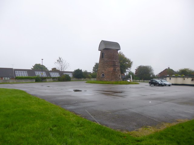
Image: © Mike Faherty Taken: 8 Oct 2012
In the car park of The Windmill public house; the mill is C18, and has also served as water tank, Home Guard post and communications tower; now awaiting restoration. http://www.meirheathwindmill.com/Meir-Heath-Windmill
Images are licensed for reuse under creativecommons.org/licenses/by-sa/2.0
Image Location
Latitude
52.957864
Longitude
-2.106393