Crescent Road
Introduction
The photograph on this page of Crescent Road by Ian Capper as part of the Geograph project.
The Geograph project started in 2005 with the aim of publishing, organising and preserving representative images for every square kilometre of Great Britain, Ireland and the Isle of Man.

There are currently over 7.5m images from over 14,400 individuals and you can help contribute to the project by visiting https://www.geograph.org.uk
Crescent Road
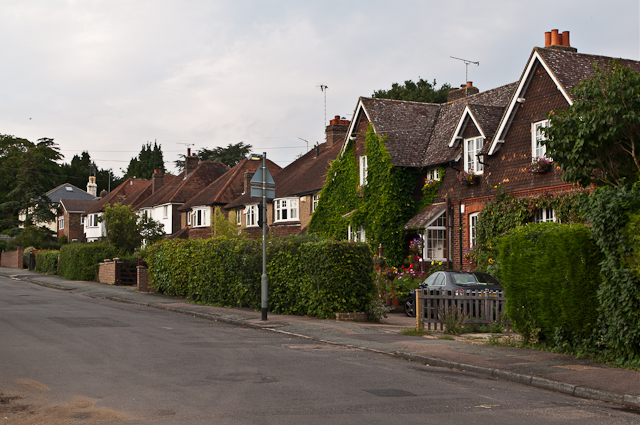
Image: © Ian Capper Taken: 1 Sep 2012
Crescent Road is shown on the 1896 1:2500 map, as part of the Victorian development of the South Park area, with the house on the right of this photo also being shown. Most of the other houses are later, dating from after the First World War.
Images are licensed for reuse under creativecommons.org/licenses/by-sa/2.0
Image Location
Latitude
51.226424
Longitude
-0.206034