Whalebone Lane South - the pedestrian view
Introduction
The photograph on this page of Whalebone Lane South - the pedestrian view by Robin Webster as part of the Geograph project.
The Geograph project started in 2005 with the aim of publishing, organising and preserving representative images for every square kilometre of Great Britain, Ireland and the Isle of Man.

There are currently over 7.5m images from over 14,400 individuals and you can help contribute to the project by visiting https://www.geograph.org.uk
Whalebone Lane South - the pedestrian view
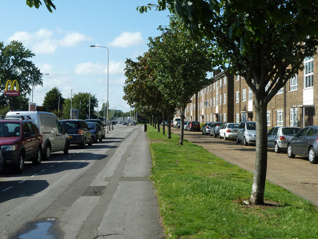
Image: © Robin Webster Taken: 25 Jun 2011
An important local route, that together with roads of other names on the same rather straight alignment formed an ancient northbound highway from a former Thames ferry at Dagenham. This part together with Whalebone Lane North was named after whale bones situated at a toll house - for the story see http://www.lbbd.gov.uk/MuseumsAndHeritage/ValenceHouseMuseum/Pages/WhaleboneGallery.aspx
Images are licensed for reuse under creativecommons.org/licenses/by-sa/2.0
Image Location
Latitude
51.565391
Longitude
0.145861