Sharp bend on Keighley Road (A6033)
Introduction
The photograph on this page of Sharp bend on Keighley Road (A6033) by Phil Champion as part of the Geograph project.
The Geograph project started in 2005 with the aim of publishing, organising and preserving representative images for every square kilometre of Great Britain, Ireland and the Isle of Man.

There are currently over 7.5m images from over 14,400 individuals and you can help contribute to the project by visiting https://www.geograph.org.uk
Sharp bend on Keighley Road (A6033)
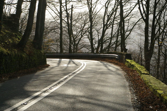
Image: © Phil Champion Taken: 29 Nov 2006
Between Pecket Well and Hebden Bridge the main road (a former turnpike) was constructed on a narrow shelf cut out of the hillside and descends steeply.
Images are licensed for reuse under creativecommons.org/licenses/by-sa/2.0
Image Location
Latitude
53.757359
Longitude
-2.01058