Fields at Crabs Castle farm
Introduction
The photograph on this page of Fields at Crabs Castle farm by Nigel Mykura as part of the Geograph project.
The Geograph project started in 2005 with the aim of publishing, organising and preserving representative images for every square kilometre of Great Britain, Ireland and the Isle of Man.

There are currently over 7.5m images from over 14,400 individuals and you can help contribute to the project by visiting https://www.geograph.org.uk
Fields at Crabs Castle farm
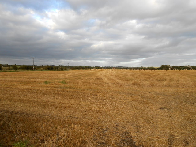
Image: © Nigel Mykura Taken: 14 Sep 2012
This large wheat field had been harvested and all that remained was the stubble and a large number of straw bales at the far end of the field. Crabs Castle is the white building on the right and the farm in the left distance is Ongar Farm in SP4154. The field is just to the Southwest of Knightcote.
Images are licensed for reuse under creativecommons.org/licenses/by-sa/2.0
Image Location


Leaflet Map data © OpenStreetMap
Latitude
52.184652
Longitude
-1.408024