Mansefield House
Introduction
The photograph on this page of Mansefield House by Anne Burgess as part of the Geograph project.
The Geograph project started in 2005 with the aim of publishing, organising and preserving representative images for every square kilometre of Great Britain, Ireland and the Isle of Man.

There are currently over 7.5m images from over 14,400 individuals and you can help contribute to the project by visiting https://www.geograph.org.uk
Mansefield House
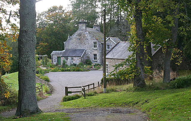
Image: © Anne Burgess Taken: 8 Oct 2012
This is almost certainly the former manse of Boharm, seen from the rudimentary parking area outside the parish kirkyard.
Images are licensed for reuse under creativecommons.org/licenses/by-sa/2.0
Image Location
Latitude
57.502956
Longitude
-3.135216