Footbridge over the railway line to Sheerness
Introduction
The photograph on this page of Footbridge over the railway line to Sheerness by John Baker as part of the Geograph project.
The Geograph project started in 2005 with the aim of publishing, organising and preserving representative images for every square kilometre of Great Britain, Ireland and the Isle of Man.

There are currently over 7.5m images from over 14,400 individuals and you can help contribute to the project by visiting https://www.geograph.org.uk
Footbridge over the railway line to Sheerness
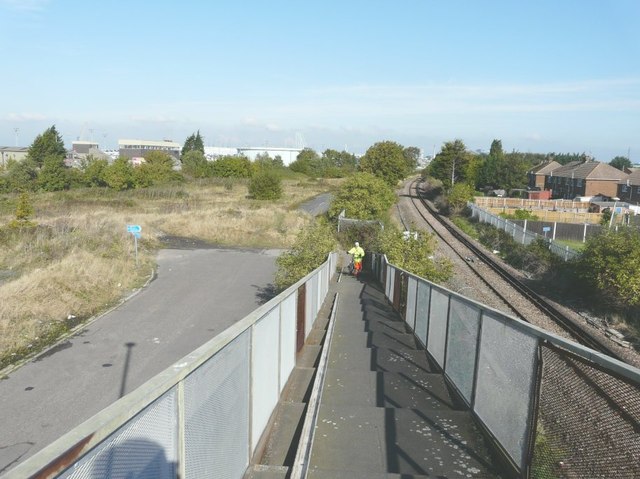
Image: © John Baker Taken: 7 Oct 2012
The bridge carries a footpath between Linden Drive (where there is a fingerpost) and Brielle Way. It is equipped with a trough to make it easier for cyclists to ascend and descend the stepped-ramps (although they are advised to dismount). Cromwell Road to the left of the bridge is blocked by a grassy barrier and beyond that, just peters out. I wonder if it was the former alignment of Brielle Way.
Images are licensed for reuse under creativecommons.org/licenses/by-sa/2.0
Image Location
Latitude
51.428696
Longitude
0.744983