Crossroads at Halfway Houses
Introduction
The photograph on this page of Crossroads at Halfway Houses by John Baker as part of the Geograph project.
The Geograph project started in 2005 with the aim of publishing, organising and preserving representative images for every square kilometre of Great Britain, Ireland and the Isle of Man.

There are currently over 7.5m images from over 14,400 individuals and you can help contribute to the project by visiting https://www.geograph.org.uk
Crossroads at Halfway Houses
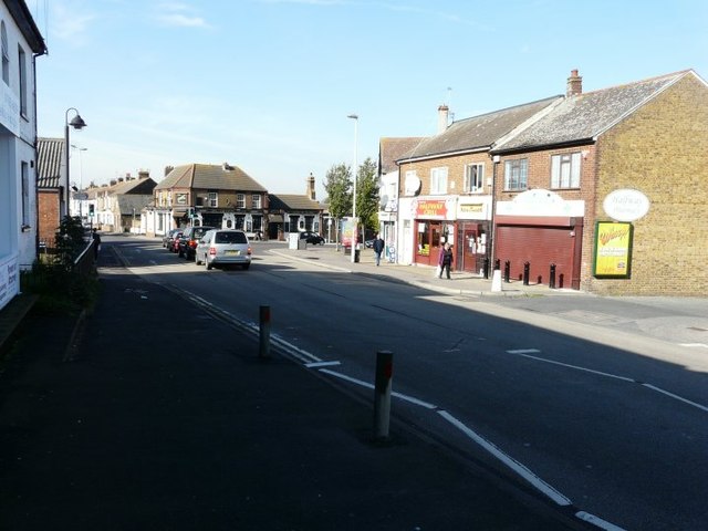
Image: © John Baker Taken: 7 Oct 2012
Seen from Minster Road (B2008) with Halfway Road (A250) to the right. The crossroads are controlled by traffic lights with Queenborough Road (A250) just seen beyond them. The Crescent is out of sight to the left.
Images are licensed for reuse under creativecommons.org/licenses/by-sa/2.0
Image Location
Latitude
51.421917
Longitude
0.776944