Great Doddington
Introduction
The photograph on this page of Great Doddington by Michael Trolove as part of the Geograph project.
The Geograph project started in 2005 with the aim of publishing, organising and preserving representative images for every square kilometre of Great Britain, Ireland and the Isle of Man.

There are currently over 7.5m images from over 14,400 individuals and you can help contribute to the project by visiting https://www.geograph.org.uk
Great Doddington
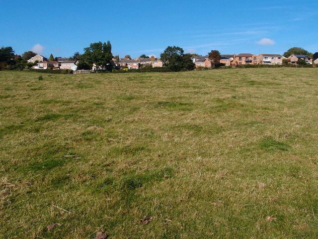
Image: © Michael Trolove Taken: 7 Oct 2012
The line of houses get a great view of the Nene Valley and quite a few have balconies built on to make the most of the scenery. Viewed from the Nene Way footpath.
Images are licensed for reuse under creativecommons.org/licenses/by-sa/2.0
Image Location
Latitude
52.268802
Longitude
-0.716968