Stile to a level crossing, Penperlleni
Introduction
The photograph on this page of Stile to a level crossing, Penperlleni by Jaggery as part of the Geograph project.
The Geograph project started in 2005 with the aim of publishing, organising and preserving representative images for every square kilometre of Great Britain, Ireland and the Isle of Man.

There are currently over 7.5m images from over 14,400 individuals and you can help contribute to the project by visiting https://www.geograph.org.uk
Stile to a level crossing, Penperlleni
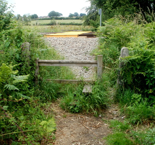
Image: © Jaggery Taken: 30 Jun 2011
Viewed from Newtown Road. If using the stile looks to be too energetic for you, you could try squeezing through the gap on the right. The level crossing http://www.geograph.org.uk/photo/3169040 leads to a track through a field along the edge of Pen-y-wern Wood.
Images are licensed for reuse under creativecommons.org/licenses/by-sa/2.0
Image Location
Latitude
51.74045
Longitude
-2.976663