North Downs Way junction at Staple Farm
Introduction
The photograph on this page of North Downs Way junction at Staple Farm by David Anstiss as part of the Geograph project.
The Geograph project started in 2005 with the aim of publishing, organising and preserving representative images for every square kilometre of Great Britain, Ireland and the Isle of Man.

There are currently over 7.5m images from over 14,400 individuals and you can help contribute to the project by visiting https://www.geograph.org.uk
North Downs Way junction at Staple Farm
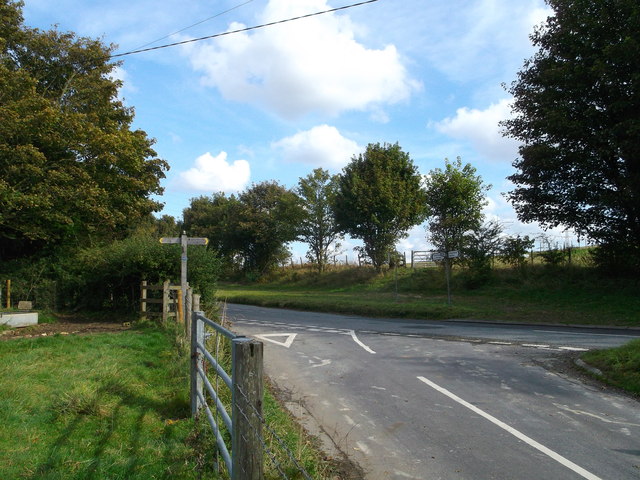
Image: © David Anstiss Taken: 7 Oct 2012
The long distance path from Postling Down leads across the road and down a short lane (heading towards Tolsford Hill). Another footpath leads left towards Postling Wood. Also a footpath leads from a kissing gate (across the road) to head to Etchinghill.
Images are licensed for reuse under creativecommons.org/licenses/by-sa/2.0
Image Location
Latitude
51.113101
Longitude
1.076894