Start of footpath, Shiphay
Introduction
The photograph on this page of Start of footpath, Shiphay by Derek Harper as part of the Geograph project.
The Geograph project started in 2005 with the aim of publishing, organising and preserving representative images for every square kilometre of Great Britain, Ireland and the Isle of Man.

There are currently over 7.5m images from over 14,400 individuals and you can help contribute to the project by visiting https://www.geograph.org.uk
Start of footpath, Shiphay
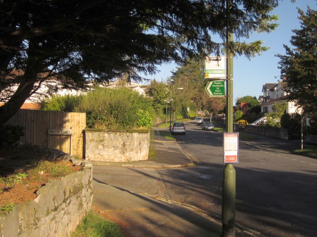
Image: © Derek Harper Taken: 4 Oct 2012
Footpath TQ54/1 uses Yealm Grove, the cul-de-sac on the left, to link through to Dart Avenue. The bus stop is for the 66 service.
Images are licensed for reuse under creativecommons.org/licenses/by-sa/2.0
Image Location
Latitude
50.478827
Longitude
-3.561822