Railway west of Eastcote Lane bridge
Introduction
The photograph on this page of Railway west of Eastcote Lane bridge by Robin Webster as part of the Geograph project.
The Geograph project started in 2005 with the aim of publishing, organising and preserving representative images for every square kilometre of Great Britain, Ireland and the Isle of Man.

There are currently over 7.5m images from over 14,400 individuals and you can help contribute to the project by visiting https://www.geograph.org.uk
Railway west of Eastcote Lane bridge
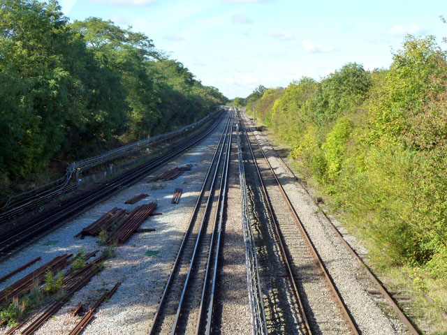
Image: © Robin Webster Taken: 6 Oct 2012
On the left, the two Central Line tracks. On the right, two Network Rail tracks, one disused and overgrown. These are the route of the direct Great Western line to the north via High Wycombe and Banbury, whose passenger services are now very largely handled from Marylebone. The link from Marylebone joins this line at Northolt Junction just out of sight in the distance.
Images are licensed for reuse under creativecommons.org/licenses/by-sa/2.0
Image Location
Latitude
51.552307
Longitude
-0.384276