North Downs near Postling
Introduction
The photograph on this page of North Downs near Postling by David Anstiss as part of the Geograph project.
The Geograph project started in 2005 with the aim of publishing, organising and preserving representative images for every square kilometre of Great Britain, Ireland and the Isle of Man.

There are currently over 7.5m images from over 14,400 individuals and you can help contribute to the project by visiting https://www.geograph.org.uk
North Downs near Postling
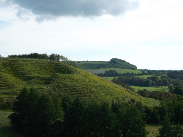
Image: © David Anstiss Taken: 7 Oct 2012
As seen from the North Downs Way (long distance path) on the downs heading towards Etchinghill. There are many twists and turns to the downs. Tolsford Hill and woodland is seen in the background.
Images are licensed for reuse under creativecommons.org/licenses/by-sa/2.0
Image Location
Latitude
51.113072
Longitude
1.064317