Valley of the Itchen
Introduction
The photograph on this page of Valley of the Itchen by Nigel Mykura as part of the Geograph project.
The Geograph project started in 2005 with the aim of publishing, organising and preserving representative images for every square kilometre of Great Britain, Ireland and the Isle of Man.

There are currently over 7.5m images from over 14,400 individuals and you can help contribute to the project by visiting https://www.geograph.org.uk
Valley of the Itchen
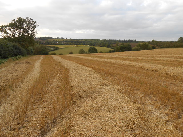
Image: © Nigel Mykura Taken: 14 Sep 2012
View north west over the valley from the Hambridge Rd on the eastern edge of the grid square. The houses in Long Itchington can be seen in the distance. The straw from the harvesting of the wheat had still not been collected and lay in neat lines where the combine harvester had left it.
Images are licensed for reuse under creativecommons.org/licenses/by-sa/2.0
Image Location


Leaflet Map data © OpenStreetMap
Latitude
52.217072
Longitude
-1.418864