Sorbie Tower
Introduction
The photograph on this page of Sorbie Tower by Callum Black as part of the Geograph project.
The Geograph project started in 2005 with the aim of publishing, organising and preserving representative images for every square kilometre of Great Britain, Ireland and the Isle of Man.

There are currently over 7.5m images from over 14,400 individuals and you can help contribute to the project by visiting https://www.geograph.org.uk
Sorbie Tower
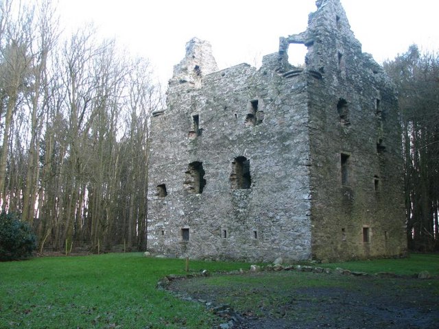
Image: © Callum Black Taken: 4 Jan 2007
16th century ruined tower house. http://www.sorbie.net/sorbie_tower.htm
Images are licensed for reuse under creativecommons.org/licenses/by-sa/2.0
Image Location


Leaflet Map data © OpenStreetMap
Latitude
54.794253
Longitude
-4.411037