Site of the former St Mary's hall
Introduction
The photograph on this page of Site of the former St Mary's hall by Stephen Craven as part of the Geograph project.
The Geograph project started in 2005 with the aim of publishing, organising and preserving representative images for every square kilometre of Great Britain, Ireland and the Isle of Man.

There are currently over 7.5m images from over 14,400 individuals and you can help contribute to the project by visiting https://www.geograph.org.uk
Site of the former St Mary's hall
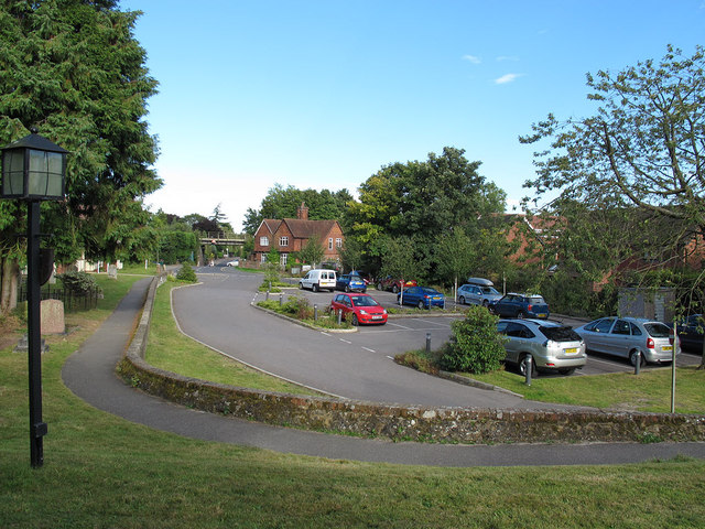
Image: © Stephen Craven Taken: 13 Sep 2012
St Mary's church hall used to be on this site. It was demolished when the new community hall Image replaced it, and the site is now a car park.
Images are licensed for reuse under creativecommons.org/licenses/by-sa/2.0
Image Location
Latitude
51.259197
Longitude
-0.007745