Bower Lane, Bridgwater
Introduction
The photograph on this page of Bower Lane, Bridgwater by Jaggery as part of the Geograph project.
The Geograph project started in 2005 with the aim of publishing, organising and preserving representative images for every square kilometre of Great Britain, Ireland and the Isle of Man.

There are currently over 7.5m images from over 14,400 individuals and you can help contribute to the project by visiting https://www.geograph.org.uk
Bower Lane, Bridgwater
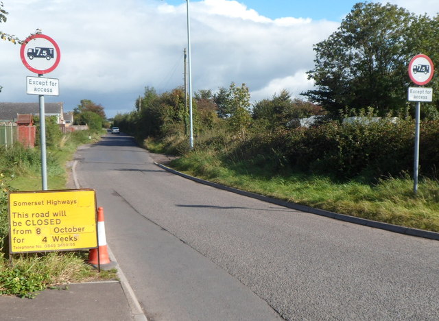
Image: © Jaggery Taken: 4 Oct 2012
Bower Lane heads away from Westonzoyland Road towards Bower Farm. Bower Lane is at the eastern edge of Bridgwater, about 300 metres west of the M5 motorway.
Images are licensed for reuse under creativecommons.org/licenses/by-sa/2.0
Image Location


Leaflet Map data © OpenStreetMap
Latitude
51.125423
Longitude
-2.974778