Holly Bank, Blackness Road
Introduction
The photograph on this page of Holly Bank, Blackness Road by Simon Carey as part of the Geograph project.
The Geograph project started in 2005 with the aim of publishing, organising and preserving representative images for every square kilometre of Great Britain, Ireland and the Isle of Man.

There are currently over 7.5m images from over 14,400 individuals and you can help contribute to the project by visiting https://www.geograph.org.uk
Holly Bank, Blackness Road
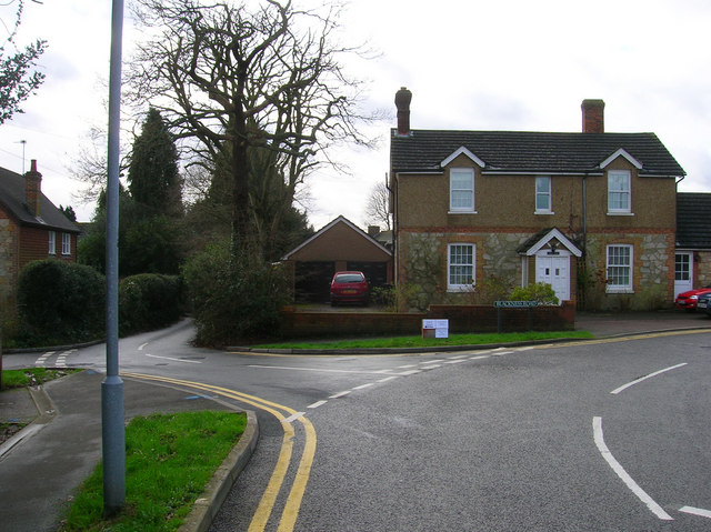
Image: © Simon Carey Taken: 20 Jan 2007
Blackness Road goes left to right whilst Luxford Road heads straight on. Blackness is another small hamlet that has been swallowed up by the Crowborough conurbation.
Images are licensed for reuse under creativecommons.org/licenses/by-sa/2.0
Image Location
Latitude
51.04741
Longitude
0.173765