Wansbeck River, Morpeth
Introduction
The photograph on this page of Wansbeck River, Morpeth by Willie Duffin as part of the Geograph project.
The Geograph project started in 2005 with the aim of publishing, organising and preserving representative images for every square kilometre of Great Britain, Ireland and the Isle of Man.

There are currently over 7.5m images from over 14,400 individuals and you can help contribute to the project by visiting https://www.geograph.org.uk
Wansbeck River, Morpeth
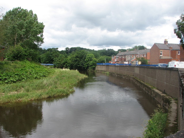
Image: © Willie Duffin Taken: 19 Jul 2012
Looking North along the retaining wall at Crawford Terrace. Hard to imagine that a few months later the water level was up to the top of the wall. Thankfully it did not overflow this time.
Images are licensed for reuse under creativecommons.org/licenses/by-sa/2.0
Image Location
Latitude
55.168705
Longitude
-1.681141