Converted farmhouse in Nettleton
Introduction
The photograph on this page of Converted farmhouse in Nettleton by Nigel Mykura as part of the Geograph project.
The Geograph project started in 2005 with the aim of publishing, organising and preserving representative images for every square kilometre of Great Britain, Ireland and the Isle of Man.

There are currently over 7.5m images from over 14,400 individuals and you can help contribute to the project by visiting https://www.geograph.org.uk
Converted farmhouse in Nettleton
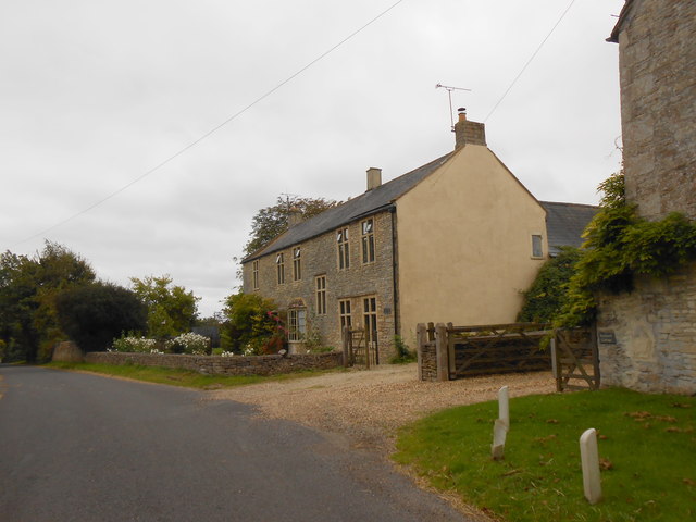
Image: © Nigel Mykura Taken: 16 Sep 2012
This house is on the very southern edge of the grid square, So much so, that the gridline actually runs through the middle of the house and the furthest away half of the house is actually in ST8178.
Images are licensed for reuse under creativecommons.org/licenses/by-sa/2.0
Image Location
Latitude
51.500647
Longitude
-2.260419