Eroding shoreline at Morfa Bacas
Introduction
The photograph on this page of Eroding shoreline at Morfa Bacas by Simon Mortimer as part of the Geograph project.
The Geograph project started in 2005 with the aim of publishing, organising and preserving representative images for every square kilometre of Great Britain, Ireland and the Isle of Man.

There are currently over 7.5m images from over 14,400 individuals and you can help contribute to the project by visiting https://www.geograph.org.uk
Eroding shoreline at Morfa Bacas
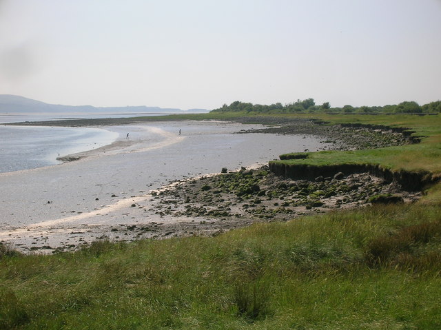
Image: © Simon Mortimer Taken: 9 Aug 2012
Looking west across the salt marsh and mud flats on the shore of the Loughor estuary. Route 4 of the National Cycle Network runs along the sea wall on this stretch of the coast.
Images are licensed for reuse under creativecommons.org/licenses/by-sa/2.0
Image Location
Latitude
51.660922
Longitude
-4.104006