Playing fields Parc Williams, Loughor
Introduction
The photograph on this page of Playing fields Parc Williams, Loughor by Simon Mortimer as part of the Geograph project.
The Geograph project started in 2005 with the aim of publishing, organising and preserving representative images for every square kilometre of Great Britain, Ireland and the Isle of Man.

There are currently over 7.5m images from over 14,400 individuals and you can help contribute to the project by visiting https://www.geograph.org.uk
Playing fields Parc Williams, Loughor
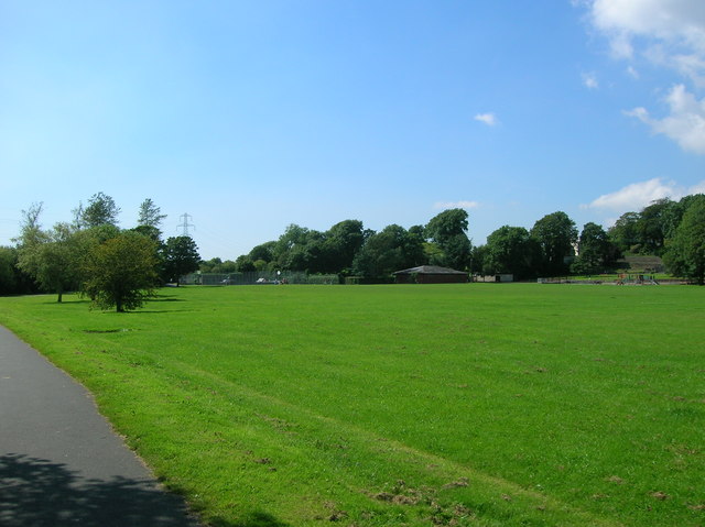
Image: © Simon Mortimer Taken: 9 Aug 2012
Looking west from the entrance to the park on Bwrw Road. Route 4 of the National Cycle Network passes through the park here.
Images are licensed for reuse under creativecommons.org/licenses/by-sa/2.0
Image Location
Latitude
51.661809
Longitude
-4.074405