Seatown from Doghouse Hill
Introduction
The photograph on this page of Seatown from Doghouse Hill by Derek Harper as part of the Geograph project.
The Geograph project started in 2005 with the aim of publishing, organising and preserving representative images for every square kilometre of Great Britain, Ireland and the Isle of Man.

There are currently over 7.5m images from over 14,400 individuals and you can help contribute to the project by visiting https://www.geograph.org.uk
Seatown from Doghouse Hill
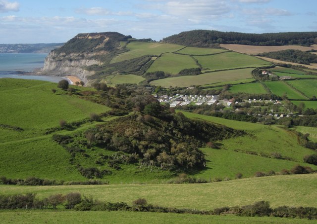
Image: © Derek Harper Taken: 29 Sep 2012
A detail of Image], with bridleway W10/11 taking the lower route to Seatown past the scrub hillside on the left, and with Golden Cap beyond.
Images are licensed for reuse under creativecommons.org/licenses/by-sa/2.0
Image Location


Leaflet Map data © OpenStreetMap
Latitude
50.723824
Longitude
-2.82163