Trowupburn
Introduction
The photograph on this page of Trowupburn by Andrew Curtis as part of the Geograph project.
The Geograph project started in 2005 with the aim of publishing, organising and preserving representative images for every square kilometre of Great Britain, Ireland and the Isle of Man.

There are currently over 7.5m images from over 14,400 individuals and you can help contribute to the project by visiting https://www.geograph.org.uk
Trowupburn
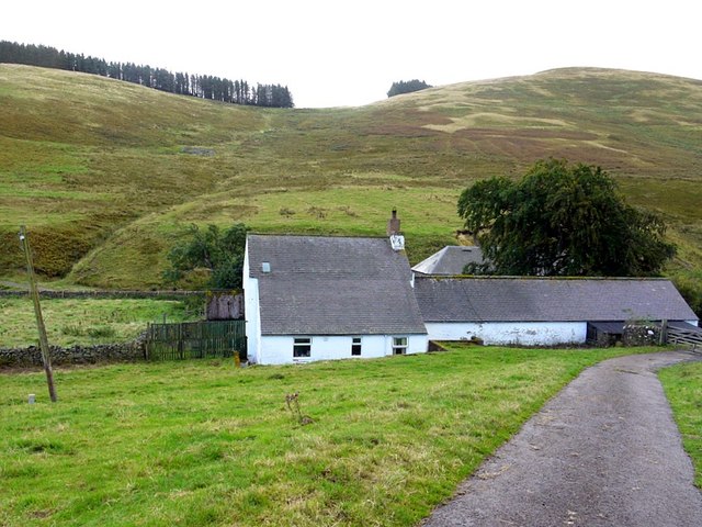
Image: © Andrew Curtis Taken: 28 Sep 2012
A small cottage and farm buildings in the valley of the Trowup Burn, west of the College Valley. It is likely that the farm takes its name from the stream valley, and I had a feeling that the earlier spelling of the place name may have been 'Trowhope Burn', as 'hope' is a common term in the locality for flat land in a valley. However, the first edition OS (1861) records 'Trough Burn' and the farm as 'Troughburn'. By 1897, it had become 'Trowup Burn' as it is today.
Images are licensed for reuse under creativecommons.org/licenses/by-sa/2.0
Image Location
Latitude
55.532431
Longitude
-2.197056