Plough Inn, Warmington
Introduction
The photograph on this page of Plough Inn, Warmington by David P Howard as part of the Geograph project.
The Geograph project started in 2005 with the aim of publishing, organising and preserving representative images for every square kilometre of Great Britain, Ireland and the Isle of Man.

There are currently over 7.5m images from over 14,400 individuals and you can help contribute to the project by visiting https://www.geograph.org.uk
Plough Inn, Warmington
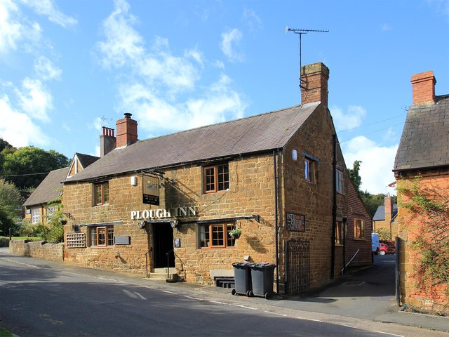
Image: © David P Howard Taken: 3 Oct 2012
The Plough Inn public house http://www.thegoodpubguide.co.uk/pub/view/Plough-OX17-1BX on Church Hill, a grade 2 listed building http://www.britishlistedbuildings.co.uk/en-306294-the-plough-public-house-warmington-warwi
Images are licensed for reuse under creativecommons.org/licenses/by-sa/2.0
Image Location


Leaflet Map data © OpenStreetMap
Latitude
52.125186
Longitude
-1.400339