High level road bridge across the Torridge Estuary
Introduction
The photograph on this page of High level road bridge across the Torridge Estuary by Tony Atkin as part of the Geograph project.
The Geograph project started in 2005 with the aim of publishing, organising and preserving representative images for every square kilometre of Great Britain, Ireland and the Isle of Man.

There are currently over 7.5m images from over 14,400 individuals and you can help contribute to the project by visiting https://www.geograph.org.uk
High level road bridge across the Torridge Estuary
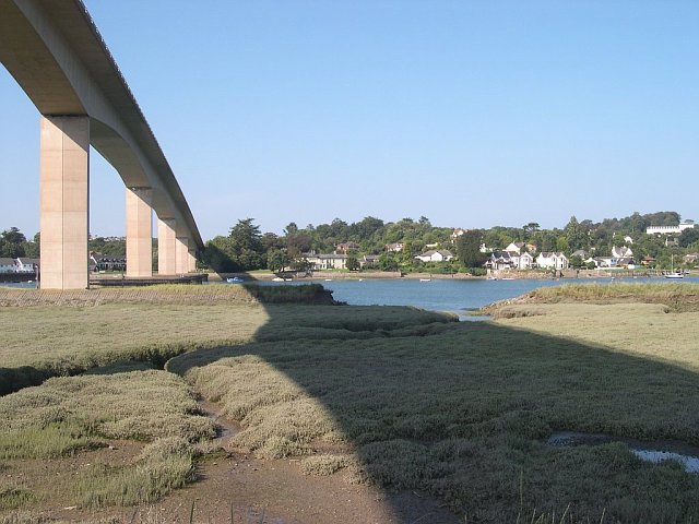
Image: © Tony Atkin Taken: 6 Sep 2004
This was taken from the eastern bank of the estuary looking over to the suburbs of Bideford on the opposite bank.
Images are licensed for reuse under creativecommons.org/licenses/by-sa/2.0
Image Location
Latitude
51.02605
Longitude
-4.204466