Stamford Brook Station
Introduction
The photograph on this page of Stamford Brook Station by Dr Neil Clifton as part of the Geograph project.
The Geograph project started in 2005 with the aim of publishing, organising and preserving representative images for every square kilometre of Great Britain, Ireland and the Isle of Man.

There are currently over 7.5m images from over 14,400 individuals and you can help contribute to the project by visiting https://www.geograph.org.uk
Stamford Brook Station
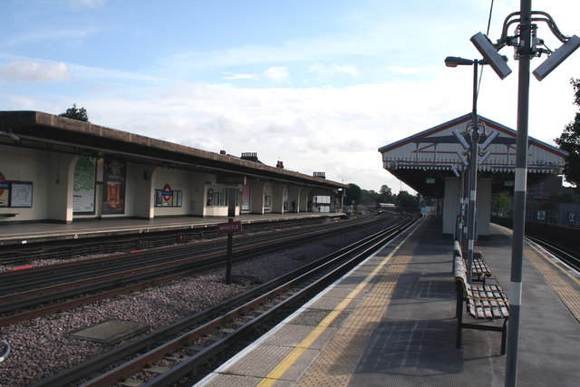
Image: © Dr Neil Clifton Taken: 2 Oct 2012
Looking east. This station is served by the District Line of London Transport, with trains from the City to and from Ealing Broadway and Richmond. Piccadilly Line trains also run through the station, but do not stop.
Images are licensed for reuse under creativecommons.org/licenses/by-sa/2.0
Image Location
Latitude
51.494841
Longitude
-0.246139