Fosse Way
Introduction
The photograph on this page of Fosse Way by Nigel Mykura as part of the Geograph project.
The Geograph project started in 2005 with the aim of publishing, organising and preserving representative images for every square kilometre of Great Britain, Ireland and the Isle of Man.

There are currently over 7.5m images from over 14,400 individuals and you can help contribute to the project by visiting https://www.geograph.org.uk
Fosse Way
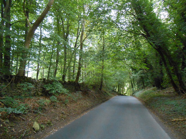
Image: © Nigel Mykura Taken: 16 Sep 2012
This shows the line of the old Roman road as it heads north and starts to descend into the valley of the Doncombe Brook. The road also make its first significant deviation from a straight line after arriving on the high ground at Bannerdown above Batheaston 4km to the south.
Images are licensed for reuse under creativecommons.org/licenses/by-sa/2.0
Image Location
Latitude
51.454456
Longitude
-2.287932