Rough ground north of Waulkmill Glen Reservoir
Introduction
The photograph on this page of Rough ground north of Waulkmill Glen Reservoir by Alec MacKinnon as part of the Geograph project.
The Geograph project started in 2005 with the aim of publishing, organising and preserving representative images for every square kilometre of Great Britain, Ireland and the Isle of Man.

There are currently over 7.5m images from over 14,400 individuals and you can help contribute to the project by visiting https://www.geograph.org.uk
Rough ground north of Waulkmill Glen Reservoir
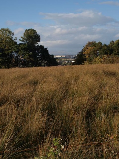
Image: © Alec MacKinnon Taken: 30 Sep 2012
The photo looks north over the unused, boggy, reedy ground north of Waulkmill Glen Reservoir. Blocks of flats in Pollok are visible through the gap in the line of trees.
Images are licensed for reuse under creativecommons.org/licenses/by-sa/2.0
Image Location
Latitude
55.793853
Longitude
-4.351366