Canal Junction
Introduction
The photograph on this page of Canal Junction by Bob Harvey as part of the Geograph project.
The Geograph project started in 2005 with the aim of publishing, organising and preserving representative images for every square kilometre of Great Britain, Ireland and the Isle of Man.

There are currently over 7.5m images from over 14,400 individuals and you can help contribute to the project by visiting https://www.geograph.org.uk
Canal Junction
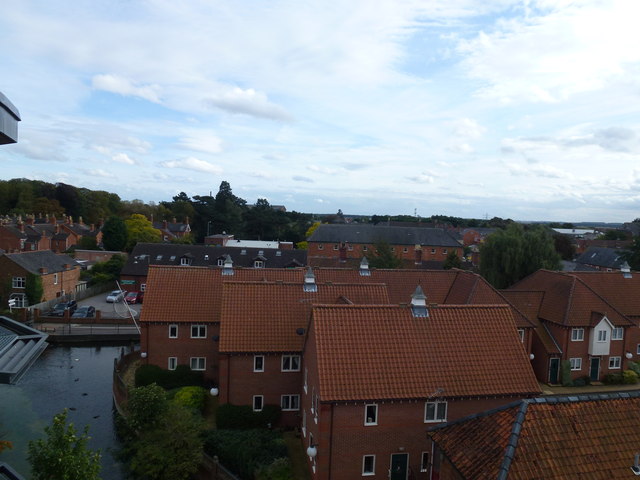
Image: © Bob Harvey Taken: 2 Oct 2012
The branch of the canal which used to run into the centre of town now stops before it gets to Carre street. This is the upper branch in this picture. The lower branch is the river Slea. Taken from the Roof Gallery of "The Hub" Arts Centre. (Image) On the horizon, just behind the dark trees, are the roofs of the Maltings at Image
Images are licensed for reuse under creativecommons.org/licenses/by-sa/2.0
Image Location
Latitude
52.998213
Longitude
-0.406968