Fields Near Hunters Hall
Introduction
The photograph on this page of Fields Near Hunters Hall by Nigel Mykura as part of the Geograph project.
The Geograph project started in 2005 with the aim of publishing, organising and preserving representative images for every square kilometre of Great Britain, Ireland and the Isle of Man.

There are currently over 7.5m images from over 14,400 individuals and you can help contribute to the project by visiting https://www.geograph.org.uk
Fields Near Hunters Hall
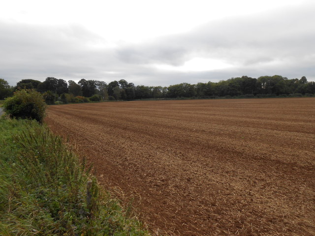
Image: © Nigel Mykura Taken: 16 Sep 2012
Hunters Hall now a residence that in earlier times was a working farm is hidden in the trees on the left of the image. The Fosse Way is behind the hedge on the left. This field has recently been ploughed and seeded and still shows the straw waste from this years crop.
Images are licensed for reuse under creativecommons.org/licenses/by-sa/2.0
Image Location
Latitude
51.4352
Longitude
-2.293565