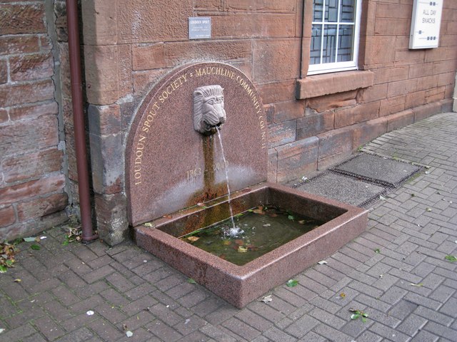
The Loudoun Spoot
Introduction
The photograph on this page of The Loudoun Spoot by Richard Dorrell as part of the Geograph project.
The Geograph project started in 2005 with the aim of publishing, organising and preserving representative images for every square kilometre of Great Britain, Ireland and the Isle of Man.
There are currently over 7.5m images from over 14,400 individuals and you can help contribute to the project by visiting https://www.geograph.org.uk

Image: © Richard Dorrell Taken: 29 Sep 2012
Originally placed here in the early 1700s as a watering point for cattle drovers and their animals. Water comes by underground pipe from a well some distance to the north - now the only working artesian well in Ayrshire. Restoration of The Spoot was begun in 1997, by which time its flow had all but ceased. It was re-dedicated in an opening ceremony on 24th June 2000, and a time capsule was buried in a void beneath it. Although a notice on the wall above the spoot declares the water as unfit for drinking, it is noted by local people for making an excellent pot of tea, or for adding to a wee dram.

