Grassyards
Introduction
The photograph on this page of Grassyards by Richard Dorrell as part of the Geograph project.
The Geograph project started in 2005 with the aim of publishing, organising and preserving representative images for every square kilometre of Great Britain, Ireland and the Isle of Man.

There are currently over 7.5m images from over 14,400 individuals and you can help contribute to the project by visiting https://www.geograph.org.uk
Grassyards
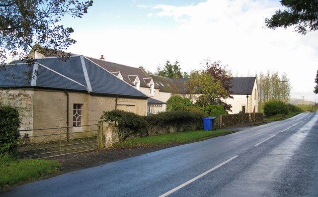
Image: © Richard Dorrell Taken: 28 Sep 2012
The original farmhouse has been much extended. The buildings lie alongside the B743 between Mauchline and Sorn.
Images are licensed for reuse under creativecommons.org/licenses/by-sa/2.0
Image Location
Latitude
55.519345
Longitude
-4.352228